CurrentSky · AISHIP V3
V3 · Thrust-vectored bicopter
Two rotors. Two gimbals. Balanced on its own thrust.
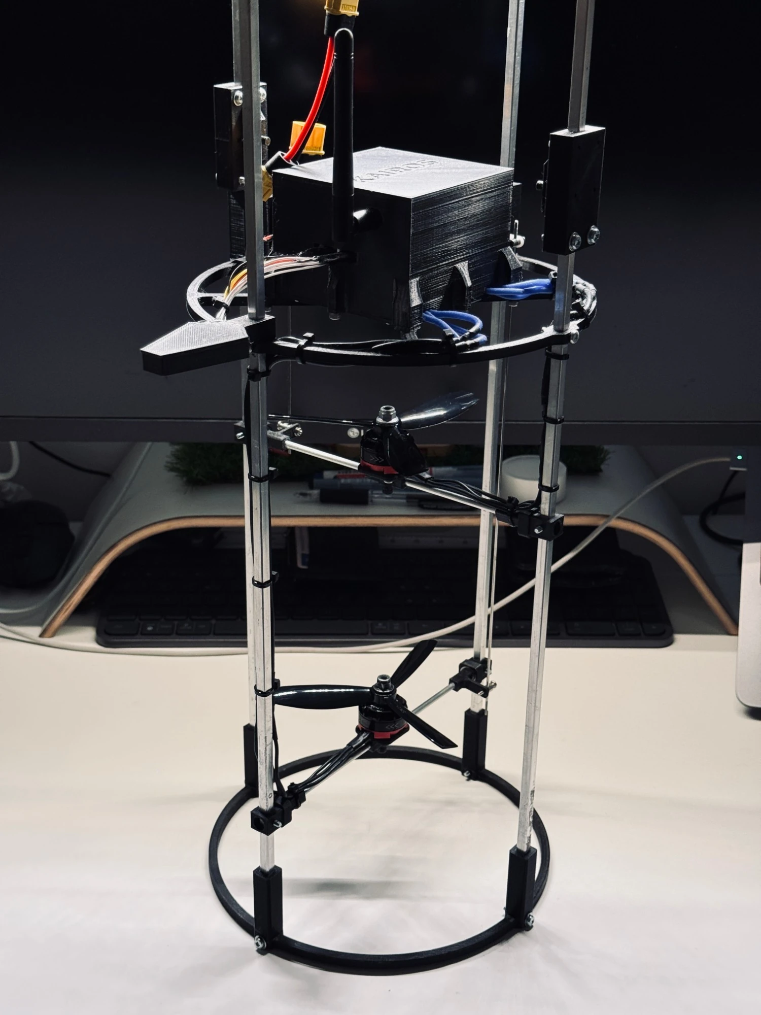
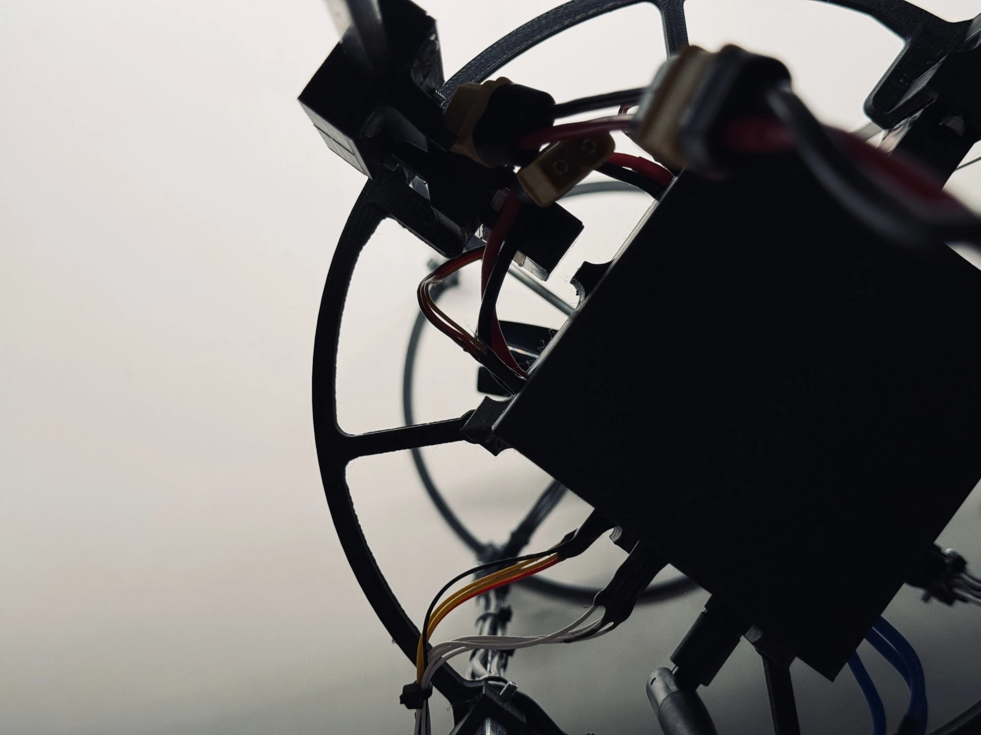
Standing as it flies: KAIROS above, two gimballed rotors below.
AISHIP V3 is our third prototype: a vertical drone that stands nose-up and steers only by tilting the thrust of its two rotors. KAIROS, our own flight computer, keeps it balanced.
How it flies
Balanced on its own thrust
A normal drone spreads its motors wide and steers by changing their speeds. V3 has no such luxury. Its two rotors sit one above the other at the bottom of the body, and its centre of mass is above them. Like a broom on an open palm, it cannot stand by itself: it stays upright only because it is corrected all the time.
01
Lift
Two contra-rotating rotors share one throttle. Spinning in opposite directions, they cancel each other’s reaction torque.
02
Pitch
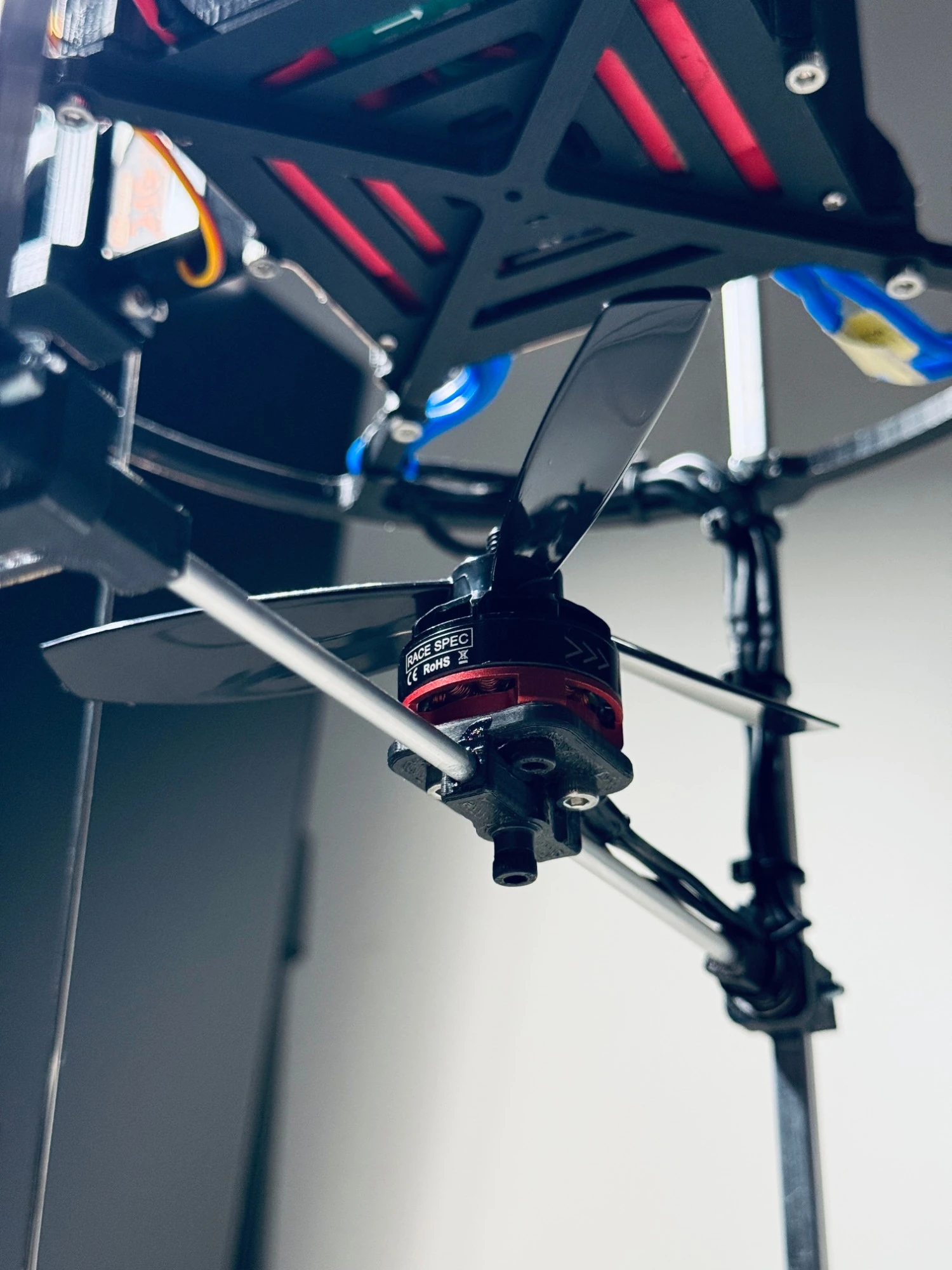
The lower rotor sits on a servo gimbal that tilts it fore and aft, pushing the body forward or back.
03
Roll
The upper rotor tilts side to side. Its lever arm is shorter, so KAIROS drives roll with stronger gains.
The principle
Up close
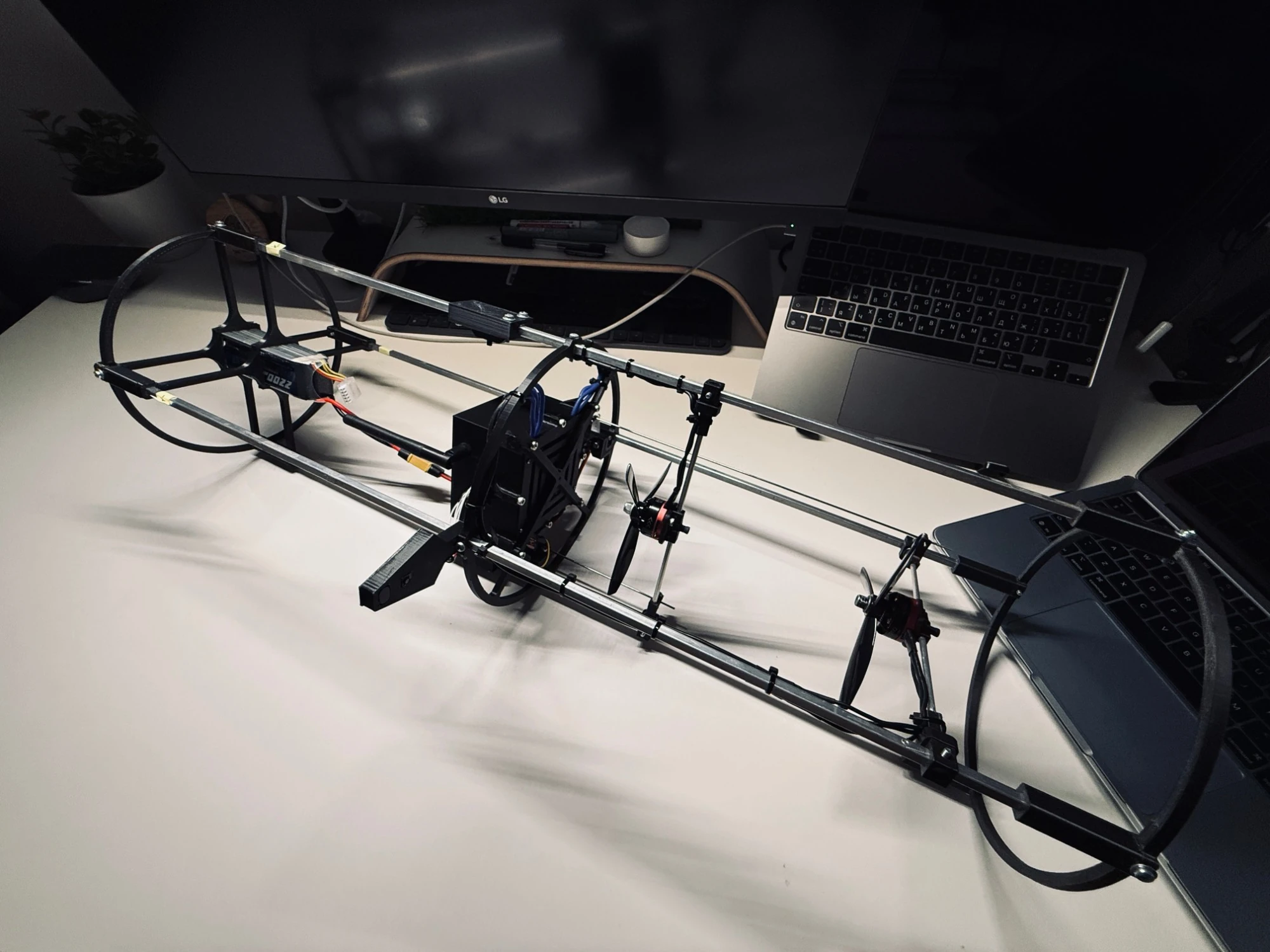
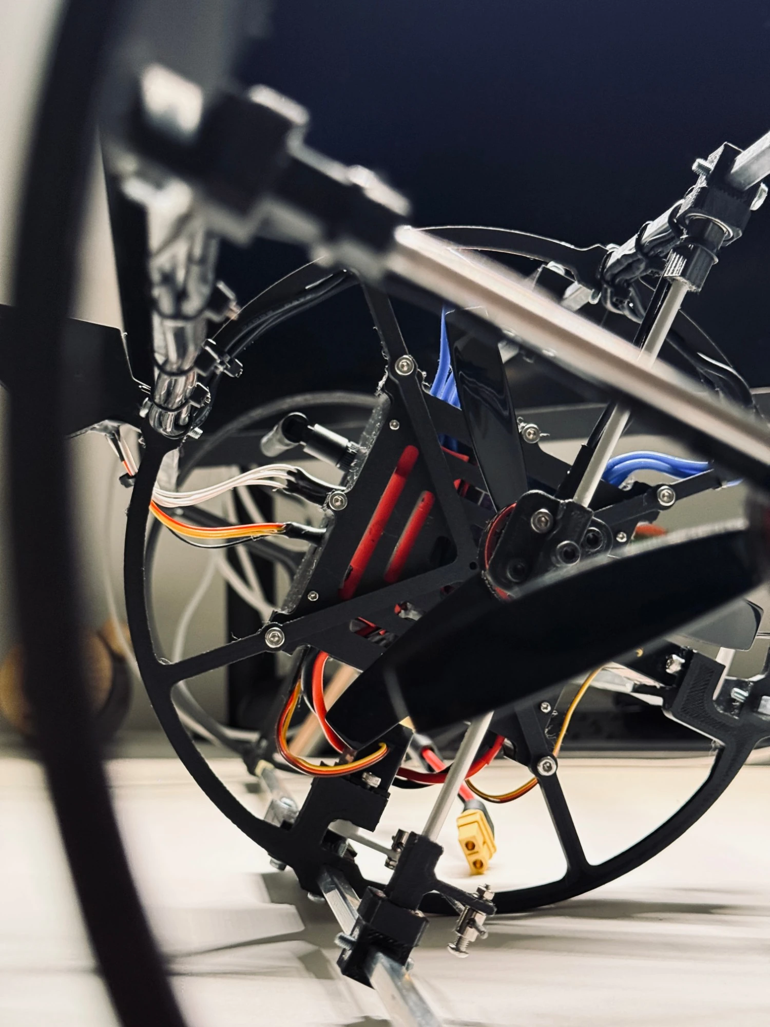
Built on the bench
From V2 to V3
Shorter, smarter, measured
67 cm, not 100
The empty top section of V2 is gone, and with it about 134 g of dead weight.
A computer of its own
KAIROS replaces a hobby board that had run out of memory and had no room for GPS.
Real sensing
An IMU with on-chip sensor fusion, plus a barometer, GPS and battery monitoring.
Lighter load
Smaller 11.5 cm propellers take the strain off motors that ran hot on V2, and a larger 2200 mAh pack replaces the one V2 burned out.
A radio that adapts
A long-range 2.4 GHz link scans the band and switches channel on the fly.
Measured, not estimated
Mass, centre of mass and both control arms are measured on the bench, not guessed.
Iteration
The parts that didn’t make it
Behind the finished airframe is a table of parts that were printed, fitted, broken or outgrown, then redesigned: enclosures, frame rings, mounting plates and rail spiders. Every one of them taught something the next version kept.
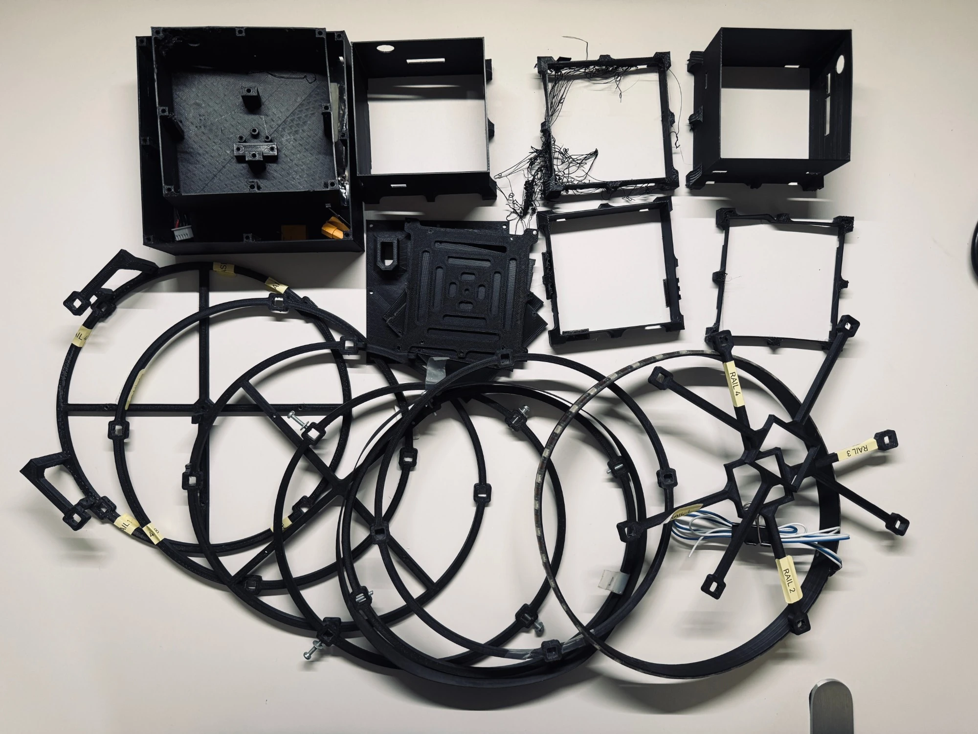
Earlier and broken versions of V3 parts
Under the hood
Specifications
| Configuration | Vertical coaxial bicopter with thrust-vector control |
| Attitude control | Two single-axis servo gimbals: lower rotor for pitch, upper rotor for roll |
| Length | 67 cm |
| Body diameter | 20.6 cm |
| Flight-ready mass | 967 g |
| Centre of mass | 39.5 cm from the base, above both rotors |
| Control arms | Pitch 29 cm, roll 13 cm |
| Propulsion | Two contra-rotating brushless motors (2205 class), 11.5 cm propellers |
| Power | 4S LiPo, 2200 mAh |
| Flight computer | KAIROS, 32-bit ARM microcontroller, 1 kHz control loop |
| Sensors | IMU with on-chip fusion, barometer, GPS, battery voltage monitor |
| Navigation | GPS outdoors, plus a local module (downward optical-flow camera and laser rangefinder) for flying without satellites |
| Link | Long-range 2.4 GHz radio with channel scanning |
The brain
Powered by KAIROS
KAIROS sits at the centre of the airframe. A thousand times a second it reads the attitude, runs the pitch and roll controllers, and sets the two gimbal servos and the motor throttle.
It also runs the safety state machine (start, stop, emergency abort), keeps its tuning in on-board memory that the app can change and read back, and streams telemetry over the radio.
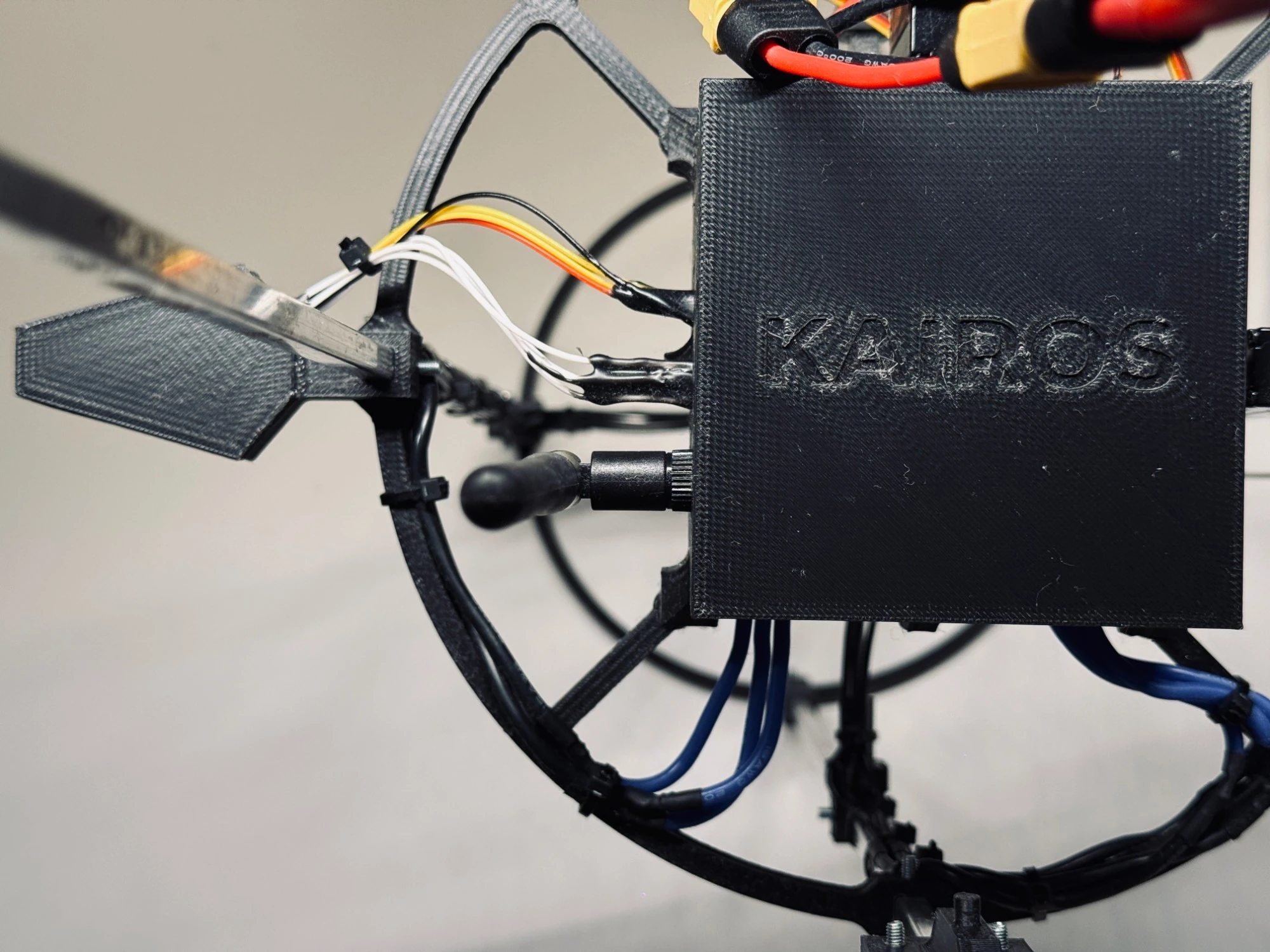
KAIROS in its printed enclosure
Navigation
With satellites and without
V3 knows where it is in two ways. Outdoors, GPS tracks its position, altitude, speed and course, and the drone beeps the moment it locks on to satellites. Where satellites cannot reach, a downward-looking module on the frame ring beside KAIROS watches the ground instead of the sky. With the height above the surface and the tilt from the IMU, the motion it sees can be turned into ground speed: designed for holding position low over the ground, precise landing and flying from A to B indoors.
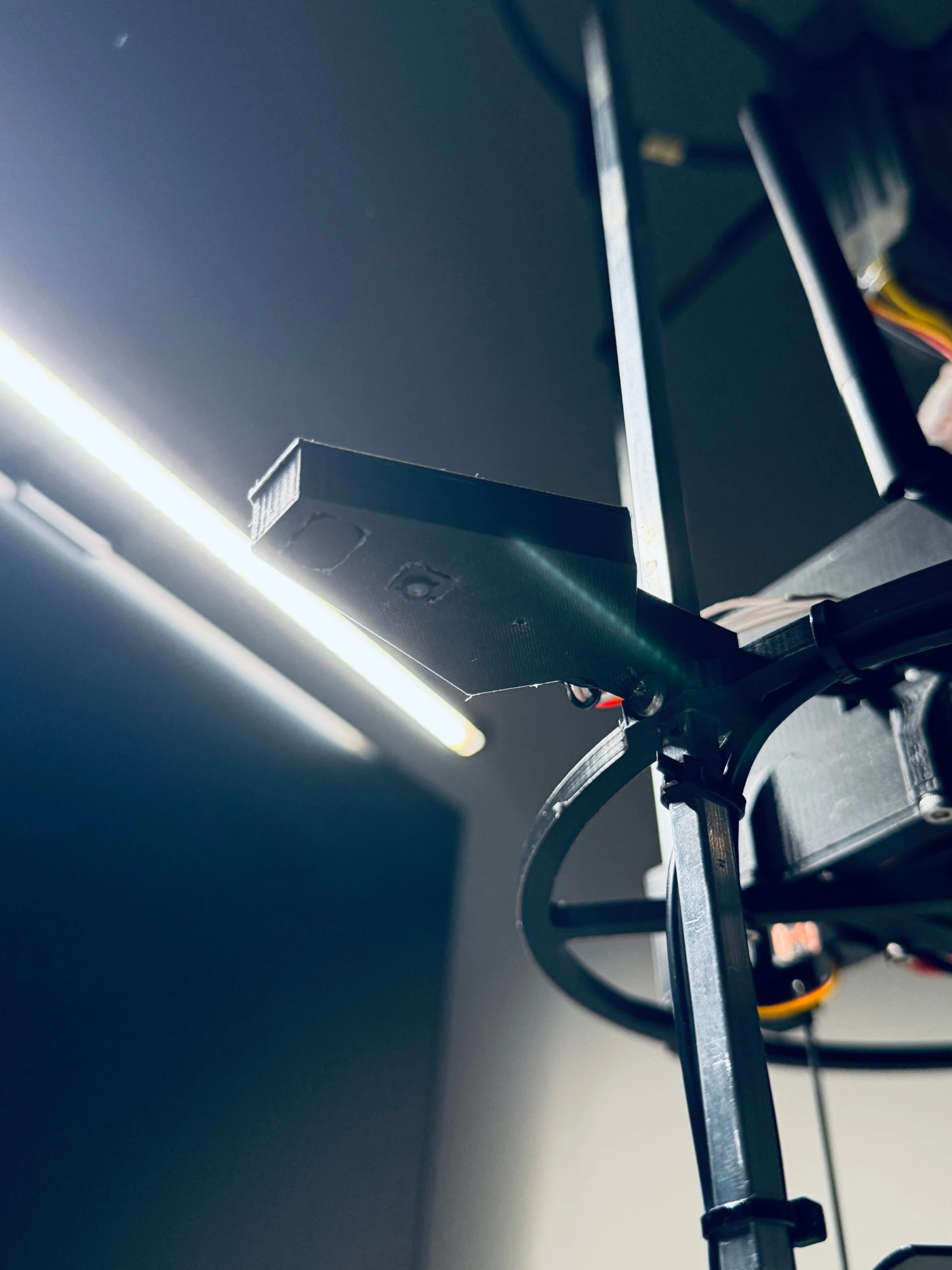
The local navigation module, seen from below

The navigation screen of the ground app: GPS fix and every satellite in view
GPS navigation
Position, altitude, speed, course and satellites stream live to a map in the ground app. GPS waypoint and route missions are laid out in the app’s mission planner.
Optical flow
A downward camera tracks how the surface moves beneath the drone, read 20 times a second.
Laser rangefinder
Measures height above the ground, up to a few metres (sensor spec).
Live in the app
The local sensors stream live data to the ground app. Turning flow into ground speed, GPS-free position hold and autonomous route flying are in development.
On the ground
Tuned before it flies
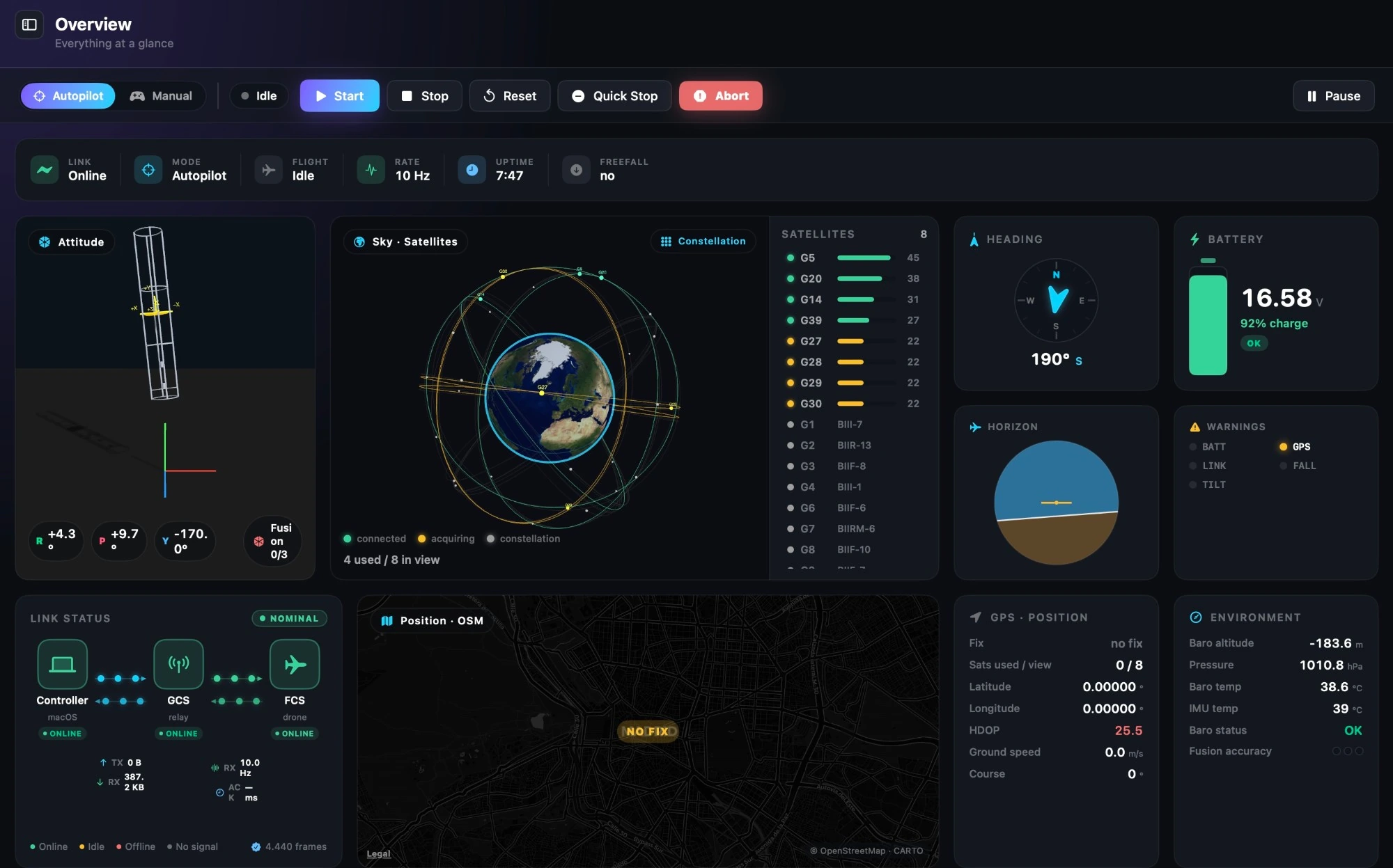
The overview: link, attitude, satellites, heading, battery, position and environment at a glance
Native macOS app
Live telemetry, a 3D attitude view, a GPS map and system health. Manual motor and servo control, bench step tests for tuning, and settings written to the drone and read back.
Sim Lab
A controller simulator inside the app: one axis modelled end to end, from sensor delay and noise through an exact copy of the on-board controller to the servo and body physics. Stability analysis, autotuning and Monte Carlo runs on 100 slightly different virtual drones.
Ground station
A USB-to-radio bridge with a status display and physical START, STOP, ABORT and RESET buttons.
Ecosystem
Part of a larger system
CurrentSky
The company building it.
AISHIP
The drone programme V3 belongs to. About AISHIP
KAIROS
The flight computer at its core. Meet KAIROS
Companion app
Telemetry, tuning and simulation on the desktop.